

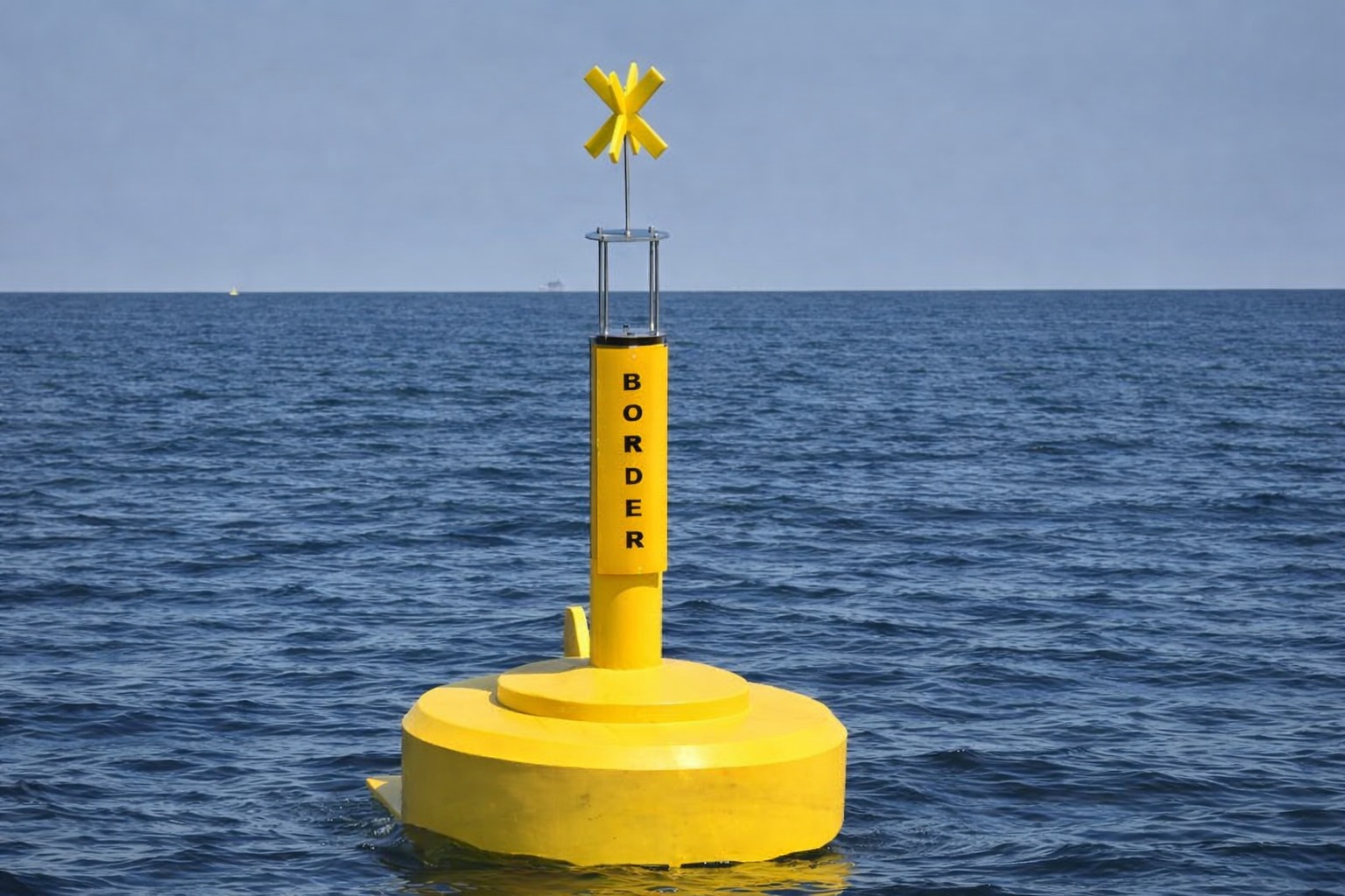

The installation of floating buoys to mark the Zambia-Zimbabwe boundary on Lake Kariba began on 12 July 2026, in what the Zambezi River Authority (ZRA) has described as a major step towards greater clarity and safety for communities living and working on the lake.
The boundary between the two countries is riverine, running about 770km along the median line of the Zambezi River from Kazungula to Luangwa on the Zambian side and from Kazungula to Kanyemba on the Zimbabwean side.
The stretch has never had physical markers on the water, a gap that has, over the years, contributed to accidental crossings, disputes and safety concerns for fishermen and boat operators from both countries.
According to ZRA, the buoys are being placed at intervals of roughly one kilometre and will initially cover the stretch from the Kariba Dam wall to the Sampa Karuma group of islands, a distance of about 10km.
The works are being overseen by the Surveyors General of Zambia and Zimbabwe, in partnership with a contracted company.
“Importantly, what will not change: fishing rights, island ownership by each country and immigration laws remain exactly as they are,” ZRA said.
“The buoys simply give lake users a clear, visible reference point, helping them know where they are and avoid straying across the boundary unknowingly.”
ZRA added that the initiative is complemented by Standard Operating Procedures jointly developed by Zambia and Zimbabwe, which set out a fair and consistent process for handling accidental or illegal crossings, further strengthening trust and cooperation between the two countries.


 Pindula WhatsApp Channel
 Facebook Page


Leave a Reply