




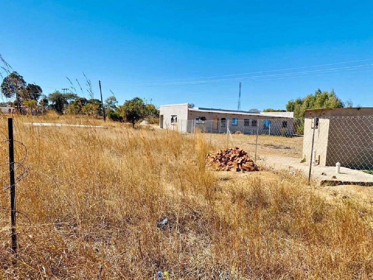


Manyame Rural District Council (RDC) is stepping up efforts to tackle illegal settlements and land sales, carrying out regular patrols and investing in a dedicated patrol vehicle.
The council, which borders Harare City and Chitungwiza, is responsible for overseeing all developments in Seke.
Seke rural is a known hotspot for unauthorised land transactions, which are widely referred to as “Sabhuku Land Deals”.
Council Executive Officer Farirai Guta told a recent full council meeting that the council has been overwhelmed by reports of illegal land allocations and is taking measures to address the problem. She said:
“As an office, we are overwhelmed with reports on illegal developments. However, we remain committed to working together with Chief Seke to deal effectively with the problem…
“We have issued 320 enforcement and prohibition orders since January 2025, and many offenders continue to ignore the directives.
“In most cases, the orders are being defied, and Council ends up referring the cases to our lawyers for demolition and eviction orders, which is proving to be a very costly exercise.”
Guta said the council is working closely with the Environmental Management Agency (EMA) to map wetlands, making it easier to spot illegal constructions early.
She stressed that unauthorised settlements aren’t just a problem on farmland—they also affect sensitive wetland areas.
In a bid to tighten control, Manyame RDC has introduced GIS-based communal land permits to replace the old homestead permits.
The system links each household to the council database using exact coordinates, helping officials identify unapproved developments more quickly.
District Planner Cosmos Murepi said the problem is made worse by low fines, which fail to deter offenders.
He said people know they can break the law and face minimal penalties, so they carry on.
Murepi also warned that illegal settlements are now disrupting farming communities in Seke, with agricultural land being sold off and leaving villagers without space for cultivation or grazing.
To tackle the issue further, the council plans to use drones to map villages, capturing coordinates for every structure, homestead, open space, grazing area, and wetland.
This technology will help ensure illegal settlements are detected early, and action can be taken before they spread.
More: Masvingo Mirror







Leave a Reply Cancel reply