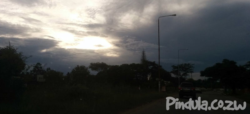
PREAMBLE: ZIMBABWE EVENING WEATHER REPORT AND FORECAST ISSUED AT 1600 HRS ON FRIDAY 07 JANUARY 2022 VALID UNTIL SUNDAY 09 JANUARY 2022.
The build-up of moisture from Zambia and Botswana along with unstable atmospheric conditions over the country resulted in afternoon and evening thunderstorms in most places, with heavier falls (exceeding 45mm) in areas along and to the north of the main watershed (namely Matabeleland North, northern parts of the Midlands, Manicaland, Harare Metropolitan and all Mashonaland Provinces). As such, noteworthy falls were at Seke Dema (95mm), Centenary (55mm), Murehwa (54mm), Shamva (52mm), Chimanimani (50mm) and Binga (46mm).
FORECAST FOR TOMORROW’. SATURDAY 08 JANUARY 2022;
Widespread thunderstorms and localized heavy rains are anticipated in Matabeleland North, Bulawayo Metropolitan, northern parts of Midlands, Harare Metropolitan, northern parts of Manicaland and all Mashonaland Provinces, with cloudy conditions prevailing. Mild at first becoming warm later. Provinces such as Masvingo, Matabeleland South and Manicaland as well as the southern areas of the Midlands should be mostly sunny with brief cloudy periods as isolated afternoon thundershowers. Mild morning and evening conditions are expected but warm by noon, with a freshening easterly wind,
IMPACTS
• Visibility may also be compromised during heavy downpours.
• Flooded rivers remain a potential hazard; even if it has not rained heavily in the area, heavy rains may have occurred upstream
• Heavy downpours may give rise to flash flooding leading to treacherous road conditions.
ACTIONS TO TAKE
• Avoid crossing flooded rivers and swollen streams whether on foot or in a vehicle.
• Avoid driving on a road covered by water especially at night when it is more difficult to recognize flood dangers.
• The public is advised to stay away from swollen rivers and not to drive through floodwaters as just 30cm of flowing water is enough to sweep away a vehicle.
• Clearance of waterways and drainages, ahead of time, helps reduce the impacts of heavy rains.
• Be Weather-ready; always plan with the weather in mind.
TEMPERATURES FOR THE MAIN CITY CENTRES
| Max today |
Harare 26 |
Bulawayo 27 |
Gweru 26 |
Mutare 27 |
Kwekwe 27 |
Kadoma 29 |
Masvingo 29 |
Chinhoyi 28 |
Lupane 27 |
Bindura 30 |
Marondera 25 |
Gwanda 32 |
| Min tomorrow | 17 | 18 | 17 | 18 | 20 | 16 | 19 | 19 | 21 | 19 | 15 | 20 |
| Max tomorrow | 26 | 28 | 26 | 27 | 28 | 29 | 29 | 28 | 29 | 28 | 25 | 31 |
FORECAST OF TOMORROW’S WEATHER IN HOLIDAY RESORTS
| TEMPERATURES: Min | Max | ||
| VICTORIA FALLS: | Mostly cloudy with thunderstorms | 19 | 27 |
| KARIBA: | Mostly cloudy with thunderstorms | 22 | 33 |
| GREAT ZIMBABWE: | Partly cloudy with thunderstorms | 19 | 29 |
| NYANGA: | Partly cloudy with thunderstorms | 12 | 22 |
| VUMBA: | Mostly cloudy with thunderstorms | 17 | 27 |
| MATOPOS: | Mostly cloudy with thunderstorms | 18 | 27 |
| CHIMANIMANI: | Partly cloudy with thunderstorms | 16 | 25 |
WEATHER FORECAST FOR SUNDAY 09 JANUARY 2022;
Scattered clouds and isolated thunderstorms, as well as warm afternoon conditions, are expected in areas to the north of the main watershed (namely Matabeleland North, northern parts of Midlands, Harare Metropolitan, northern parts of Manicaland and all Mashonaland Provinces); heavy rains (in excess of 20mm) remain probable especially along the Zambezi Valley. Mostly sunny and warm conditions are expected in Matabeleland South, Bulawayo Metropolitan, Masvingo as well as southern areas of Midlands and Manicaland Provinces, becoming mild towards evening. Brief cloudy periods and isolated thundershowers remain probable.
Back to top