The Meteorological Services Department has projected that Depression/Cyclone/Storm Chalane will likely hit Zimbabwe on Wednesday. Below is MSD’s statement.
WHAT?: TROPICAL DEPRESSION CHALANE
WHERE?: IN THE MOZAMBIQUE CHANNEL
WHEN?: MONDAY, 28 DECEMBER 2020
WATCH OUT FOR (in the next 24hours)!:
- Move westward toward the Mozambique coast
- Intensification into a Tropical Storm
- Rain-bands (cloud bands) extending at least 500km from centre of the system.
- WHAT TO DO:
- Have a contingency plan in place in case of adverse weather •Know your escape route to the nearest emergency centre if need be
- Have emergency numbers close
- Have a few provisions, first aid kit, torch, essential documents and medication in a waterproof-easy to carry bag/satchel
- Keep following the regular updates and monitor your environment or call MSD Provincial Officers:
Manicaland: +263 712 504 107
Mash East : +263 772 429 036
Masvingo : +263 738 387 218
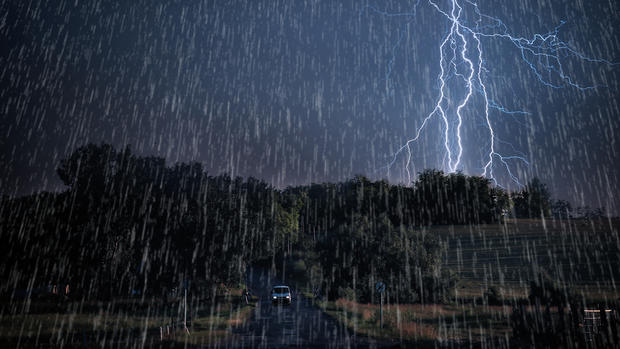
Stay Weather-Ready and Environment SmartHOW?: Today, Monday 28 December 2020, Tropical Depression Chalane entered warmer water of the Mozambique Channel where it is expected to re-intensify into a Tropical Storm. Similar to Cyclone Dineo, the system should sweep across the country from Wednesday 30 December Into the New Year.
This should give continuous rain over much of the country, with localized heavier downpours (in excess of 50 mm In 24 hours) probable especially over high ground (areas along the main watershed into the Eastern Highlands). Such copious rain from Wednesday 30 December 2020 through to Friday 01 January 2021 may result in reduced visibility during some sharp downpours and flash flooding in areas of poor drainage as well as along river basins; mudslides and landslides as well as collapse of walls, due to excessive moisture, remain probable. These rains should ease off as we get into the weekend.
A detailed Alert should follow soon

Back to top